Overview - Transportation Master Plan
A Huge Network of Roads
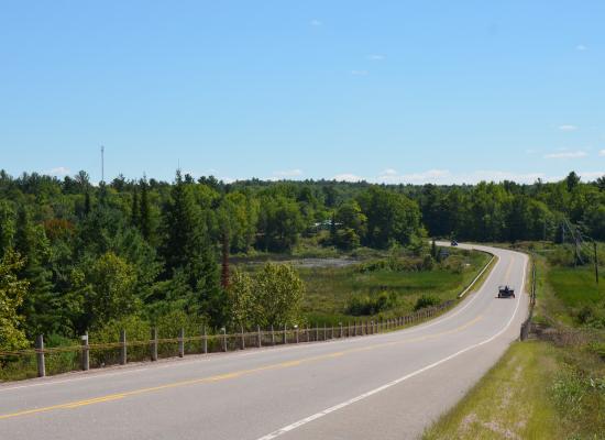
The County of Lennox & Addington spans 2,777 square kilometres: from Lake Ontario in the south, 130 kilometres northward to Renfrew County. In order to allow people who live and work in the county, visitors to the county community, and people involved in trade and commerce to travel safely, the county maintains a significant transportation grid including:
- 458 kilometres of urban, semi-urban and rural roads, specifically:
- 308 km of hot mix asphalt road
- 150 km of surface treated road
- 50 bridges and 18 major culvert structures
- Two roundabouts: one located at the intersection of County Road 2 and County Road 4 in Loyalist Township constructed in 2009 and the other located at the intersection of County Road 1 and County Road 10 at the boundary serving Greater Napanee and Tyendinaga Township constructed in 2021.
View County of Lennox & Addington Road Maps here
The components of the transportation grid are located within the County’s four lower-tier municipalities:
- Township of Stone Mills
- 163 km of road
- 26 structures including 1 boundary bridge
- Town of Greater Napanee
- 159 km of road
- 26 structures including 2 boundary bridges
- Loyalist Township
- 98 km of road
- 13 structures
- Township of Addington Highlands
- 38 km of road
- 3 structures all of which are boundary structures
Local municipalities maintain the upper-tier County road system, but these roads remain under the ownership and control of the County. The County is responsible for all costs of the system’s road, bridge, paving, and capital construction program.
Transportation Master Plan Updates
In 2014 the County of Lennox and Addington completed a Transportation Master Plan (TMP). The study guide’s the County’s transportation programs and road infrastructure investments for the next twenty years.
The Master Plan can be viewed here: